|

Yeolands Quarry, Jurassica and Durdle Pier
Page and some links last revised/updated 17th June 2025.
This area is dominated by two vast quarries.
West Weares is a disused quarry below the cliffs and reaching down to the sea. It was from here that Sir Christopher Wren took stone to rebuild St Paul’s Cathedral after The Great Fire of London of 1666.
Yeolands [1] is a disused inland quarry which was intended be transformed into ‘Jurassica’ - an £84 million recreation of a Jurassic environment. However this project never materialized although there are plans for an underground feature in Bowers Quarry please click here for details.
The flat area alongside the cliff edge [2] is the curiously named Shepherd’s Dinner.
Durdle Pier [3] lost its ancient crane in the 2014 storm. There are fishermen's huts here at the water's edge.
The abandoned railway line from Weymouth to Easton hugs the foot of the cliffs [5].
Please click here for a detailed street map. Click the BACK button on your browser to return to this page.
Please click here to visit the satellite image of this area on Google Maps. Click the BACK button on your browser to return to this page.
|
Please use this table to navigate around this page
|
|
YEOLANDS QUARRY AND JURASSICA [1]
|

|
|
SHEPHERD’S DINNER [2]
|

|
|
DURDLE PIER [3]
|

|
|
WORLD WAR 2 PILLBOXES [4]
|

|
|
ABANDONED RAILWAY TRACK [5]
|

|
|
SMALL BEACH [6]
|

|
|
YEOLANDS QUARRY AND JURASSICA [11]
A very informative article by Ashley Smith about Yeolands Quarry can be read here.

This panoramic scan around Yeolands Quarry shows the area on the left where Jurassica would have been built. There was still an ecosystem left in the middle of the picture which was subsequently buried under huge quantities of waste rock.
The Jurassica project had been inspired by the Eden Project; however, it failed to proceed and the project website no longer exists. Details of it are on Wikipedia here and the abandonment link is on the BBC website here. (Section revised with updated links 17th June 2025).
The picture below was taken in 1989 in the far left end of the quarry seen above. I set the camera on a ten second delay and ran to get to pose against the far wall to give an indication of the depth of this vast hole. Unfortunately, despite several attempts, I never quite reached the wall before the camera shutter fired - hence I have my back to the camera.
In April 1999 a man fell 60 feet from the cliff top into the quarry. He remained at the site for ten hours before he was found suffering from hypothermia. The man survived and recovered in hospital.
Taken in 1995, this picture shows Yeolands Quarry before much of it was filled with stone waste. That is my best friend Sandy in the quarry who volunteered to provide a scale to show the huge size of this hole.
In the late 1980s the central bottom area of the quarry had a unique ecosystem where small ponds were fed by rivulets. This damp environment hosted many types of reeds, grasses and even newts - how they got they I do not know.
This picture shows the bottom ecosystem of Yeolands Quarry in 2007. This is now all buried deep under rubble.
Jurassica would have been built in the part of the quarry shown above with the entrance buildings and shop on the far side. This has all now been cancelled for this site.
A panoramic sweep of Yeolands Quarry in 2015 showing the Youth Offenders Institution in the far distance.
Return To Top Of Page
SHEPHERD’S DINNER [2]
Shepherd’s Dinner is the curious name for the area running along the top of the cliffs south of the Youth Offenders Institution and along the eastern side of Yeolands Quarry.
This picture shows that Portland can show a good display of colour at the right time of year. This picture from 1989 shows brilliant flowers on Shepherd’s Dinner looking towards Yeoland’s Quarry which is where the cranes are working.
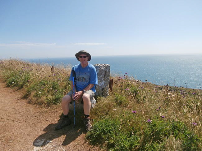
I take a rest on a convenient stone block whilst walking along the cliff edge by Shepherds Dinner.
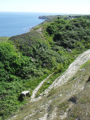
This is a typical scene looking down from the cliff top at Shepherds Dinner over the East Weares.
Return To Top Of Page
DURDLE PIER [3]
I took this picture in about 1995. I sent it to the Dorset Echo and they published it spread over half a page which pleased me enormously. This was in the days of slide film and long before Photoshop was around to turn indifferent pictures into works of art.
This was the scene after the devastating storms that ravaged Portland early in 2014. No sign of the historic old crane apart from a wooden spar laying nearby.
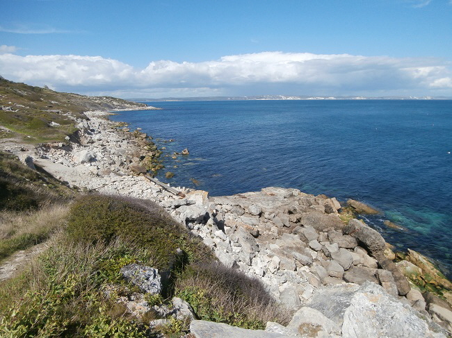
The crane had been totally destroyed with most of the huge spars thrown up well above the high water line along the coast by the southern salt pan.
Not only did the waves carry the huge wooden spars along the coast but they tossed them over the pebble bank and then up into the vegetation beyond the salt pans.
These next four pictures show the scene of devastation further north up the coast.
These next pictures show what little remains of the old crane on its original site.
This picture from the early 1990s shows one of many fishermen’s huts. By this time they were mostly abandoned.
What amazed me was that fishermen would make the long and strenuous walk down to Durdle Pier from the cliffs which tower over this area just to go fishing.
However, if that was their livelihood then it had to be done.
The same scene in 2015 - abandonment and dereliction.
Steps to nowhere...
Return To Top Of Page
WORLD WAR 2 PILLBOXES [4]
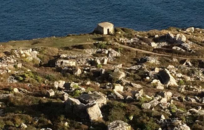
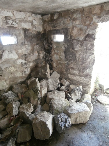
The two pillboxes are in this picture. The upper (nearest) one is hard to see. The roof is the circular object near the mid-bottom of the pictures.
For decades I had believed that this structure near Durdle Pier was a shelter for quarry workers to use during bad weather. This was, with hindsight, unlikely as this area was quarried over 300 years ago to provide stone for Sir Christopher Wren’s rebuilding of St Paul’s Cathedral in London.
In fact it is one of two World War 2 pillboxes built in the early 1940s to defend this part of the Portland coast.
There are informative articles on these pillboxes here for the coastal one and here for the inland one.
The lower pillbox seen from the upper one.
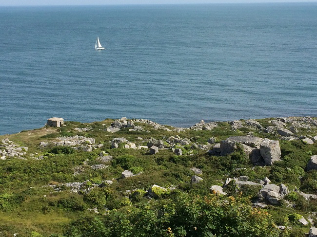
This photograph shows both pillboxes in the same view.
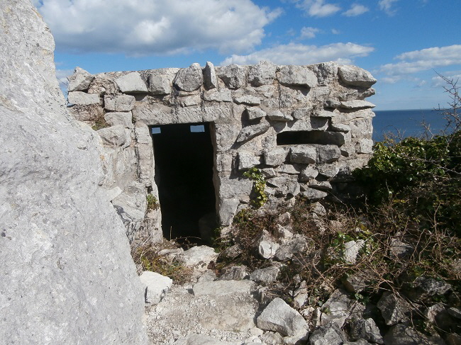
This upper pillbox is quite difficult to get to but that has not stopped it being used for parties.
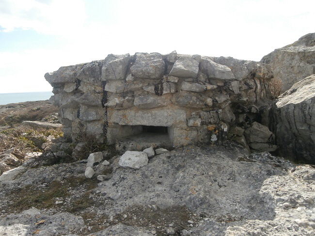
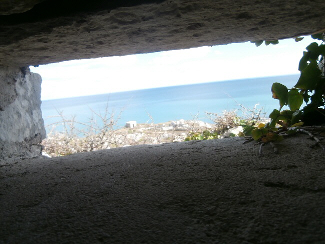
The view from the observation slit towards the seaward pillbox.
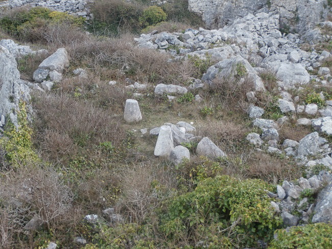
In the jumble of worked out quarries near the pillboxes I spotted these carved stone objects. Could they be something left behind by Sir Christopher Wren or, more likely, a much more recent production of the ‘stalks’ of stone mushrooms used to support barns and keep the rats out from the harvest?
Return To Top Of Page
ABANDONED RAILWAY TRACK AND SEWER PIPELINE [5]
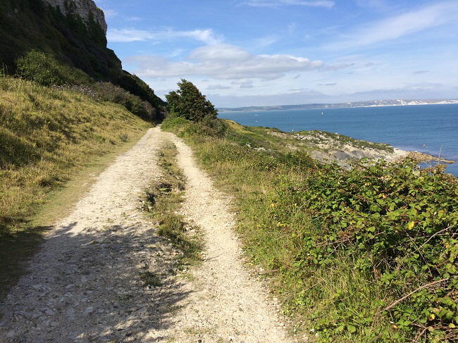
This pictures shows the old railway track. I travelled on the last train in 1965 and the railway was converted to a path soon afterwards.
I noticed in the summer of 2016 that the seaward side of the footpath is starting to split and move downwards as shown by the above picture. I hope this land movement will not cause the path to be closed eventually.
I also noticed a persistent smell of sewerage at this point and wondered it the land movement has caused a leakage in the sewer pipe that runs alongside the track as seen below.
This huge pipeline carries Portland’s sewerage to Wyke Regis on the mainland where it is treated and discharged into Lyme Bay.
In 2017 this huge pipe sprung a leak and sewage briefly escaped. However, Wessex Water quickly bought the problem under control and a temporary pipeline was laid to bypass the rupture.
The cause was a small landslide which caused the pipe to bend and leak.
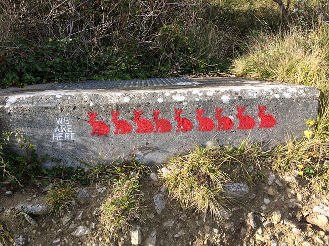
Oh No! Underground Mutton Alert!
Return To Top Of Page
SMALL OR LITTLE BEACH [6]
Small Beach (also known as Little Beach) is an area that used to be popular with bathers and lies a little south of the disused sewer outflow pipe.
Keywords Jurassica Durdle Pier Dorset
|