|
Please click here to reach the Home Page
MAPS AND PLANS OF THE NOTHE FORT
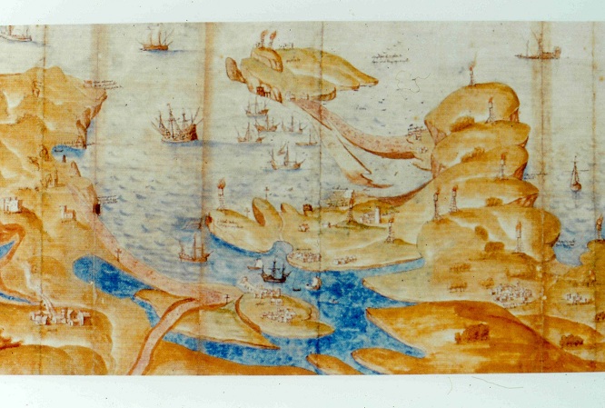
IMG 0714
Tudor map of Portland Harbour
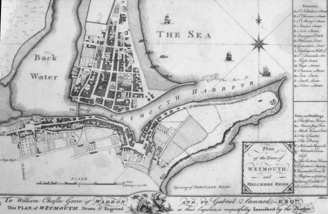
IMG 0718
Map of Weymouth and Nothe Peninsula, 1774
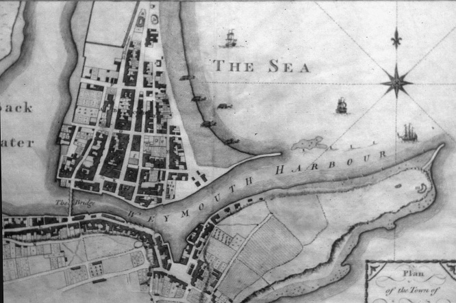
IMG 0719
Weymouth and Nothe Peninsula, 1774
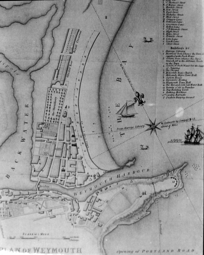
IMG 0720
Weymouth and Nothe Peninsula, 1800
I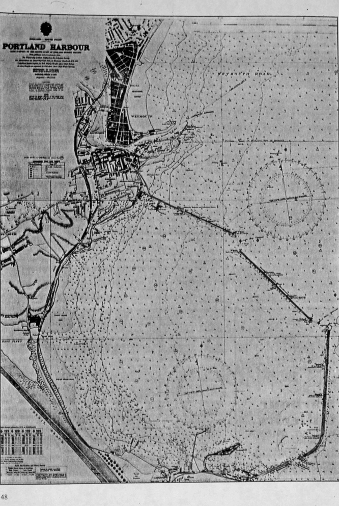
IMG 0723
Chart of Weymouth Harbour, 1939
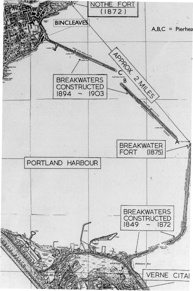
IMG 0724
Chart with details of Breakwater
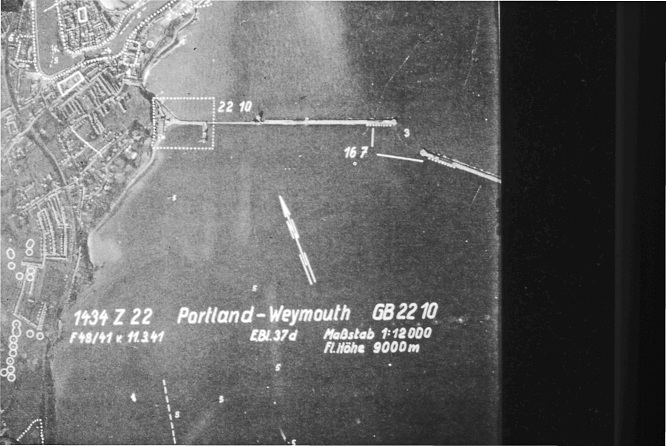
IMG 0725
World War 2 German air photograph including Nothe Fort
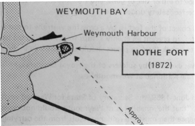
IMG 0726
Sketch map of Nothe Fort at 1872
IMG 0727
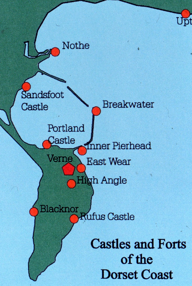
Dorset coastal castles and forts
IMG 0730
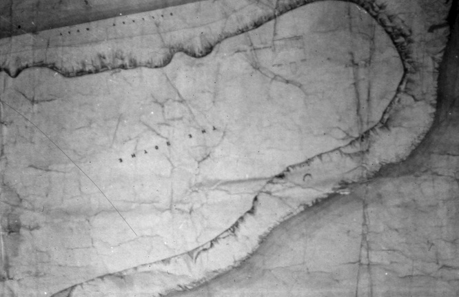
Map of Nothe Peninsula pre-1860
IMG 0731
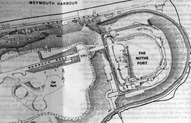
Map of Nothe Peninsula 1960
IMG 0732
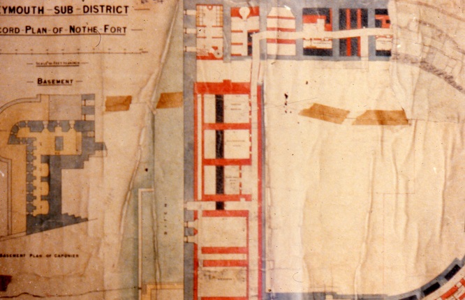
Plan of basement of Caponier, 1908
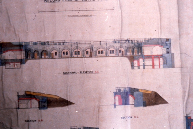
IMG 0733
Nothe Fort Elevations 1908
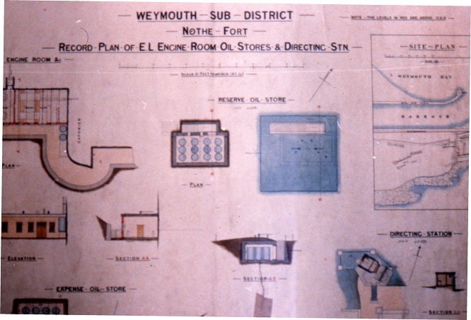
IMG 0734
Miscellaneous Nothe Fort Plans including Directing Station, 1906
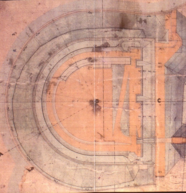
IMG 0735
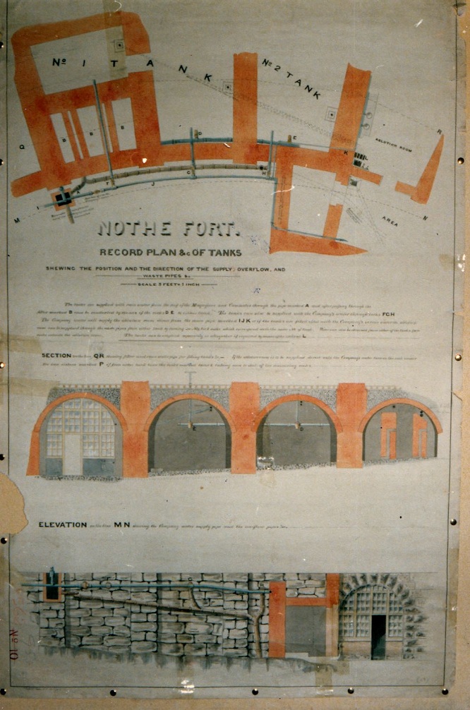
Nothe Fort Record plan 1886

IMG 0739
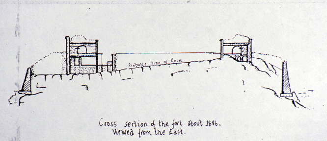
IMG 0741
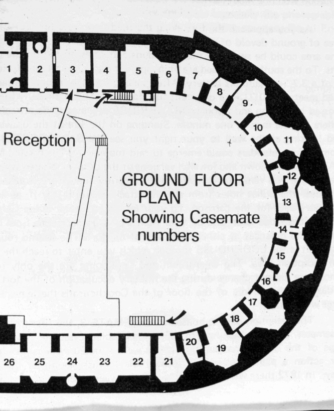
IMG 0743
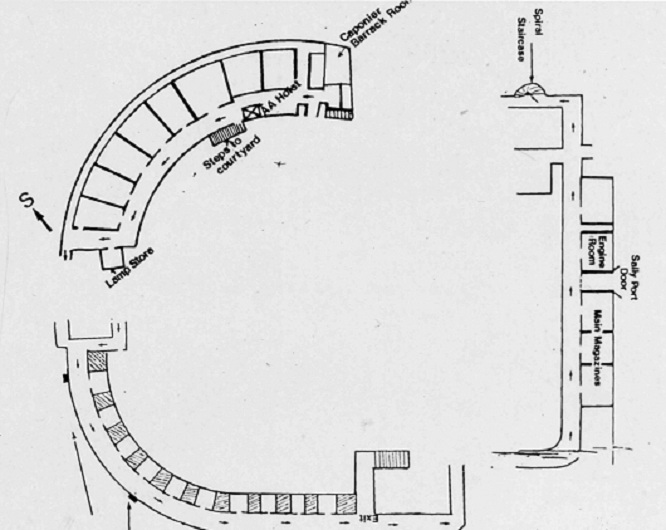
IMG 0744
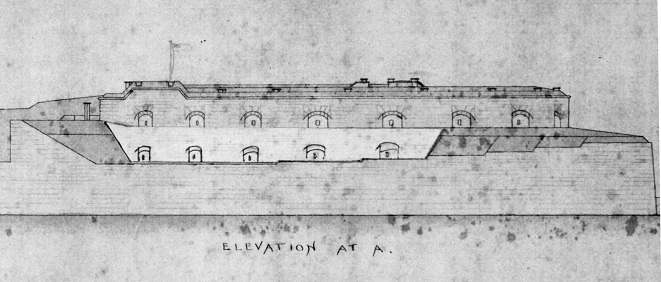
IMG 0847
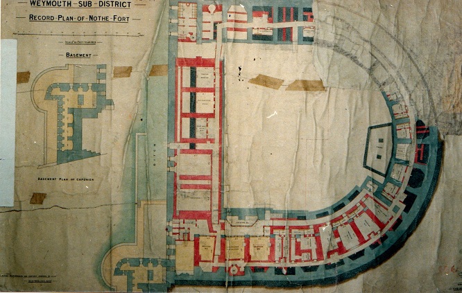
IMG 2202
Building plan for Fort.
IMG 2203
Building plan for Fort.
|